BRUCK AN DER MUR
CATEGORY
Urban & Architectural
SITE'S FAMILY
How to Create Positive Dynamics from a Difficult Situation?
TEAM REPRESENTATIVE
Architect or Urban designer (Architect - Urban planner - Lanscaper)
LOCATION
Bruck an der Mur - Österreich
POPULATION
City 13.000 inhab. Region 160.000 inhab.
STRATEGIC SITE
20 ha
SITE OF PROJECT
1,5 ha
SITE PROPOSED BY
City of Bruck an der Mur & Federal State Steiermark
OWNER(S) OF THE SITE
Federal State Steiermark
COMMISSION AFTER COMPETITION
Urban project management role, further involvement in architectural follow-up procedures
Detailed information / Registration:


FUTURE HEART OF THE REGION!
BRUCK AN DER MUR IS A GATEWAY TO STYRIA AND THE GEOGRAPHICAL CENTER OF THE CITY REGION. THE INSULAR SITUATION OF THE PROJECT SITE REFLECTS BRUCK AS AN URBAN LANDSCAPE DOMINATED BY LARGE INFRASTRUCTURES, DILEMMA AND POTENTIAL IN ONE. THE AIM IS TO ESTABLISH THE POTENTIAL OF THE SITE AS A CENTER IN THE LOCAL AND REGIONAL CONTEXT AS WELL AS IN THE AWARENESS OF SOCIETY SO AS TO OPEN UP THE VISIONARY PATH TO BECOME A CITY REGION WITH A SUSTAINABLE LEADING PROJECT!
BRUCK AN DER MUR IST TOR ZUR STEIERMARK UND GEOGRAPHISCHE MITTE DER STADTREGION. DIE INSELLAGE DES PROJEKTGEBIETS REFLEKTIERT BRUCK ALS EINE VON GROSSEN INFRASTRUKTUREN DURCHZOGENE STADTLANDSCHAFT, DILEMMA UND POTENTIAL IN EINEM. ZIEL IST ES, DAS POTENTIAL DER FLÄCHE ALS ZENTRUM IM LOKALEN UND REGIONALEN KONTEXT EBENSO WIE IM GESELLSCHAFTLICHEN BEWUSSTSEIN ZU VERANKERN, UM DEN VISIONÄREN WEG ZUR STADTREGION MIT EINEM NACHHALTIGEN LEITPROJEKT ZU ERÖFFNEN!


HOW THE SITE CAN CONTRIBUTE TO THE ADAPTABLE CITY?
Together with its neighbouring towns Bruck an der Mur is in the process of forming one of Austria’s 38 city regions. For this transformation a number of strategic adaptations on both levels – the regional and the city – have to be taken. Corresponding with Europan’s subtheme Segregation vs Sharing within the coming years steps of intensified networking and development towards a cross-linked urban agglomeration on an administrative and infrastructural level will take place, including the implementation of a new regional railway stop right on the site. Directly linked to this new railway line the project site is projected to play a central role within this city region. Its exposed and segregated location has to be re-connected to the city center and to be established as the city’s interface with the region through quality-oriented urban mix-use and a sequence of high standard public spaces.
CITY STRATEGY
The city aims at strengthening its profile and role within the city region by creating a positive dynamic from the central location and easy accessibility of the project site within the city region. The targeted urbanization of the site draws upon existing potentials in the surrounding study area such as the highly-frequented highways and railroad connections, the local rehabilitation facility, the nearby recreational nature resort and easy walkable connection to the city centre. In order to avoid rash restrictions concerning the use of the project site the city has defined a number of non-targets instead of a precise intended use.
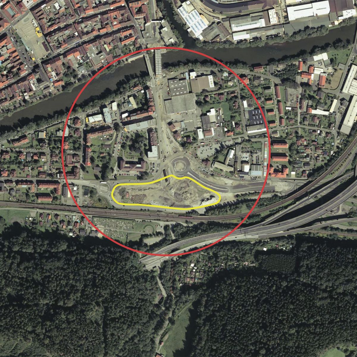
SITE DEFINITION
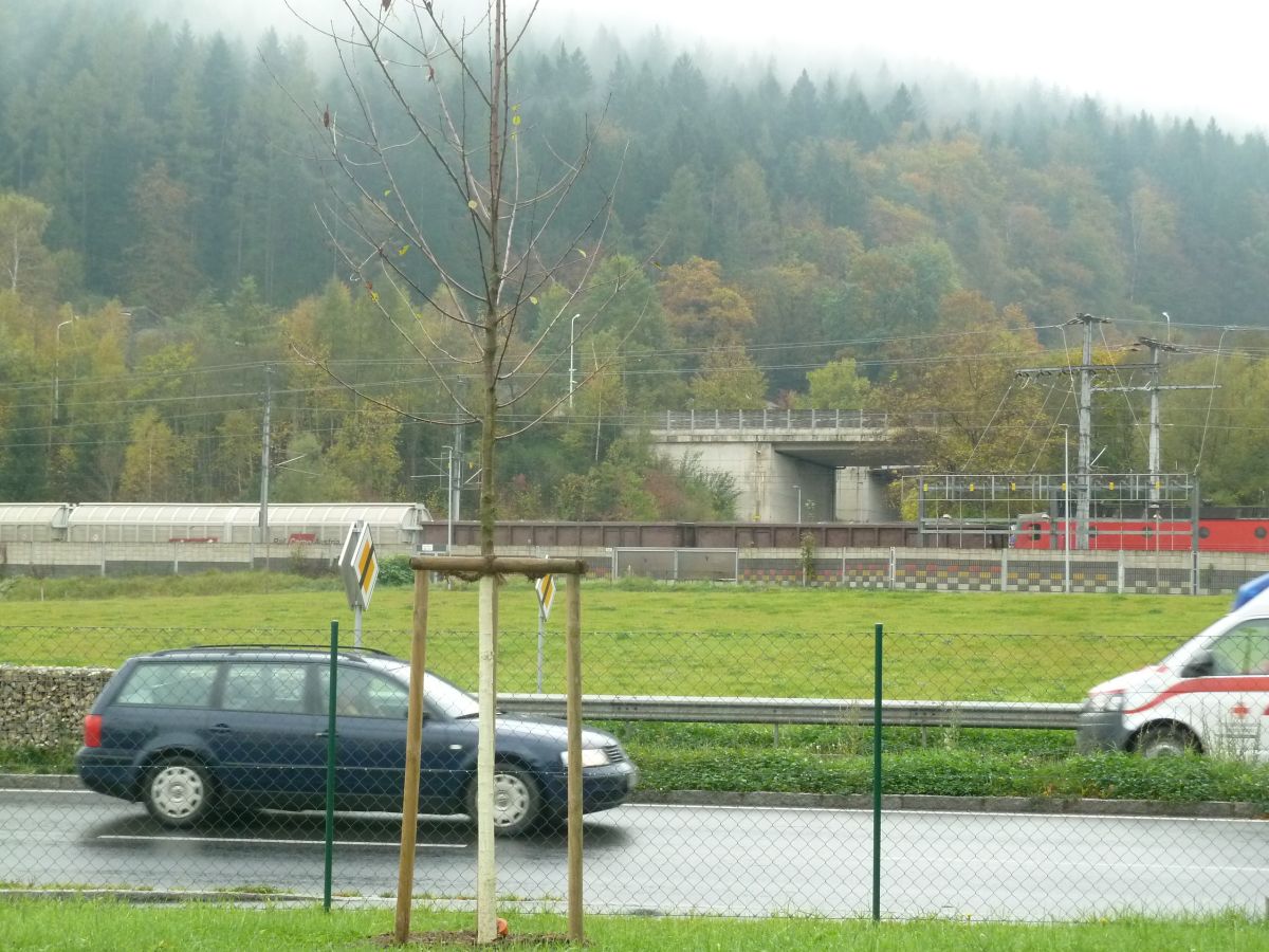
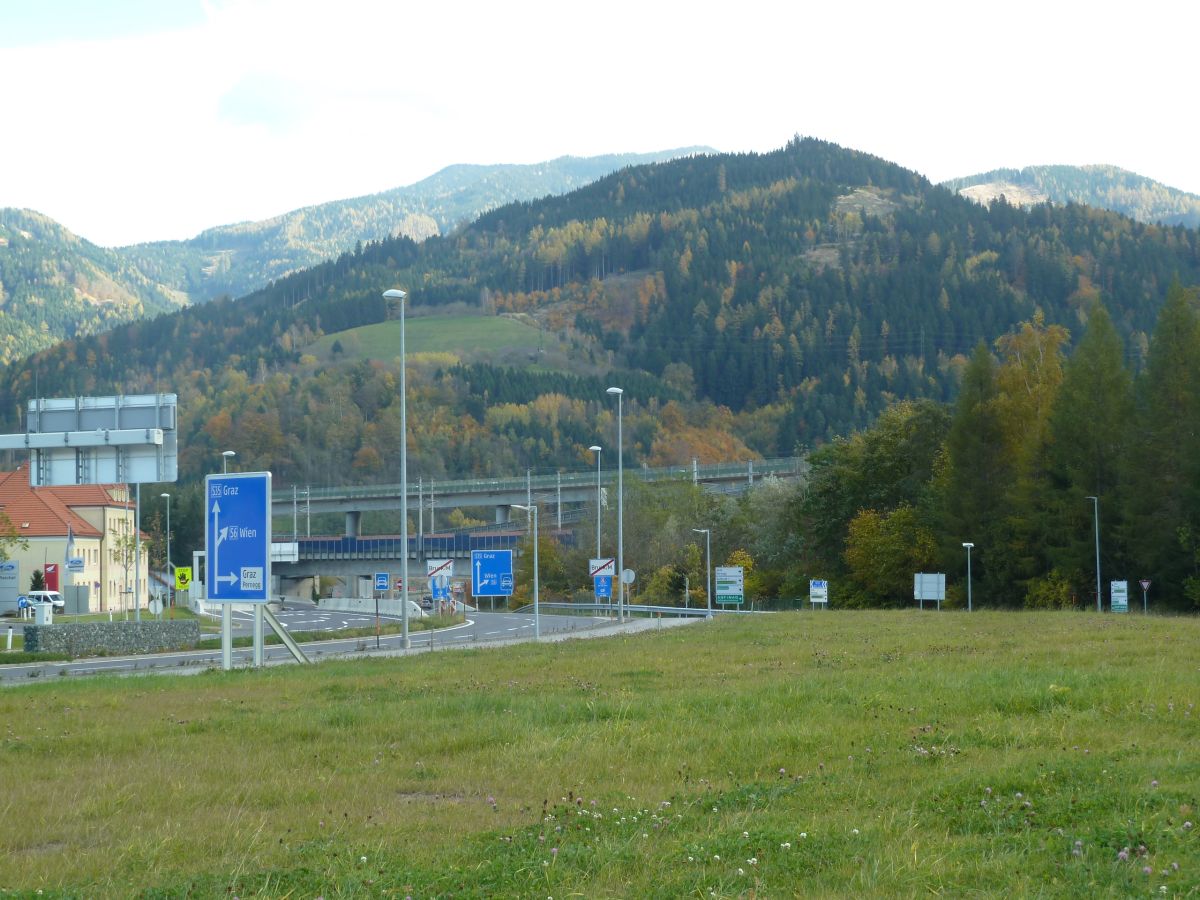
The Study Area extends north from the project site, incorporating the Southern part of the town called Murer Vorstadt. It is defined by its strong borders, the river, the railway tracks and two four-lane expressways crossing at a T-junction that recently has been converted into a round-about. To the West the development dates back to the 19th century with multi-storied housing representative for its time, and a health center. To the East a high diversity of building types and mix-use area has evolved including industry, commerce, single family and apartment housing, public service facilities and a big parking lot creating a multi-layered urban fabric.
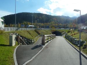
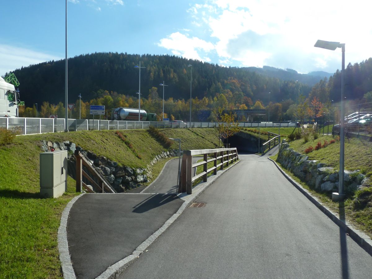
The project site in the South of the expressway is constituted by its island-like nature bordered by the railway tracks and expressway. At the moment pedestrian accessibility is only possible through an underpass.
FUTURE OF THE SITE IN RELATION OF SITE'S FAMILY AND ADAPTABILITY
The municipality and the province ask for a strong vision which shall promote the potential of the site as a central regional hub, including a strategy for a process which is able to implement step by step this vision. How to explore the site’s role as a double-gate of city and region? How to interconnect the territorial scale of the regional infrastructures with the local fabric?
*COLLECTIVE PERCEPTION OF THE SITE
Through a strategy of communication and actors the currently not highly valued site will be activated in the consciousness of the inhabitants and claim its essential position within the city and its city-region.
*STRATEGY OF INTERMEDIATE PROGRAMS
A curation of temporary activation with a program that highly reflects the local and regional context in order to establish a unique address for the future development of the site; youth can be seen as target group.
*”CENTER HOUSE OF THE REGION” - STRONG VISION
The “Center House of the Region” with its adjacent public spaces should not compete with the city center. The project should be able to absorb temporary uses becoming constant. Also it should absorb programmatic openness acting as an infrastructural hub with a strong urban character.
*MOBILITY & CONNECTIVITY
A concept for quality-oriented open and public spaces enhancing the length of stay and strengthening the link to the city center is needed. The site´s high connectitvity (including the new regional railway stop) must be fully exploited, focusing on mobility concepts in order to decrease individual road traffic in favor of railroad traffic and pedestrian links.